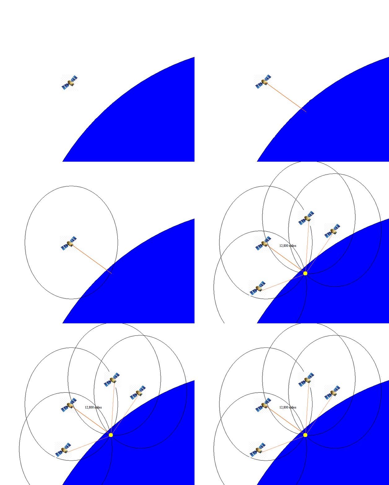
Click the image to enlarge if needed.
GPS Stands for Global Positioning System. It can determine your longitude and latitude to within a few feet of your position anywhere on Earth, and is standard navigating equipment for ships and planes today.
GPS uses a network of satellites that circle the Earth all the time. No matter where you are on Earth, several GPS satellites are overhead at any moment. Your GPS receiver picks up signals from satellites and by comparing the time the signals from different satellites overhead were sent and the location of each satellite, your receiver can compute its own position on Earth.
That means your receiver can compute the exact time, your exact longitude and your exact latitude. Wouldn't Columbus be jealous.
Thanks for taking this tour of navigation technology through the ages. Keep checking the blog during the trip. I'll be carrying a working model of the quadrant Columbus used and will try it out on the ship. Do you think I'll be as accurate as our GPS? Time will tell!
![]()
Would you like to find out more about how a modern GPS system works? Click here for a simulation.

